Intense End-of-Year Cold Snap to Hit Spain with Drastic Temperature Drop
According to the latest analysis from the Spanish State Meteorological Agency (AEMET), a powerful cold front is forming over the Atlantic and will begin to affect Spain this weekend. Starting from Sunday, December 21, 2025, a cold snap is expected to sweep across the country, bringing significant drops in temperature, rain, and snow, marking the official arrival of deep winter.
Detailed Breakdown of Temperature Drop and Precipitation
The weather event will progress from west to east and north to south. Here is the detailed timeline:
December 18 (Thursday) to 19 (Friday): The first signs of change will appear at both ends of the peninsula. The northwestern regions of Galicia, Asturias, and Castile and León will be the first to experience rain. Simultaneously, the southeastern Mediterranean coast, the autonomous city of Melilla, and the island of Ibiza will see showers. By Friday, the front will cross the peninsula, bringing widespread rain. Temperatures in inland areas will begin to fall, with a possibility of frost.
December 20 (Saturday): The cooling trend will continue along the central axis of the Iberian Peninsula. Daytime temperatures in the capital, Madrid, are expected to drop to between 6°C and 10°C.
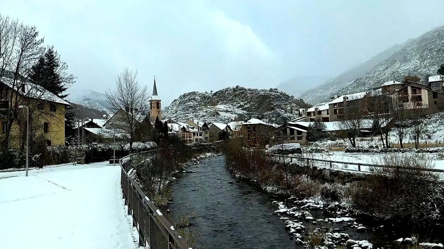
December 21 (Sunday): The cold snap will reach its peak. Rainfall will extend to most of the peninsula and the eastern Balearic Islands. Temperatures will drop further, causing a significant decrease in the snow level: from 1000 meters to 900 meters in the northwest, down to 1400 meters in the southeast, and generally between 1000 and 1200 meters elsewhere. Snowfall is also possible in some low-altitude areas in the north.
Temperatures to Remain Low Throughout Christmas Week
The effects of this strong cold air mass will persist throughout the Christmas holiday period. Weather models predict that for the week of December 22 to 28, temperatures across all of Spain—including the Iberian Peninsula, the Canary Islands, and the Balearic Islands—could be 1°C to 3°C lower than the historical average for this period. This suggests that many areas may experience a “White Christmas.”
Official Advisory: Pay Attention to Holiday Travel and Home Safety
As the temperature drop coincides with Christmas, a time of increased family gatherings and holiday travel, adverse weather conditions may heighten road traffic risks. Official agencies have issued the following safety recommendations:
- Road Safety: Individuals planning to travel over the weekend and during the Christmas period, especially those heading to mountainous areas like the Sierra for skiing or sightseeing, must equip their vehicles with snow chains and take the highest level of precautions for icy and snowy conditions.
- Home Protection: Residents are advised to carefully check that their home heating systems are functioning correctly and ensure that doors and windows are well-insulated to prevent heat loss during nighttime frosts.
- Public Health: The large temperature difference between indoors and outdoors can easily lead to seasonal illnesses like the common cold. The public should pay attention to dressing in layers and keeping warm.