Heatwave Ends as DANA System Dominates Weekend Weather
According to the latest report from Spain’s State Meteorological Agency (AEMET), after several days of scorching heat, Spain’s weather pattern is about to undergo a major shift. The forecast indicates that a cold-core low from the Atlantic will evolve into a DANA (an isolated high-altitude depression) starting this Friday and will linger over the Iberian Peninsula throughout the weekend. This weather system will effectively end the preceding heatwave, causing a ‘significant’ drop in temperatures across most of the country, returning them to ‘levels closer to seasonal norms’.
Severe Weather This Weekend, Peaking on Saturday
The weather event will begin to manifest on Friday afternoon. As the DANA forms over the western part of the peninsula, severe thunderstorms will quickly spread across the vast interior, excluding the southwest. The Iberian System mountain range and the eastern inland areas are expected to be the first to experience severe conditions, possibly with strong winds and hail.
Meteorologists predict that Saturday will be the ‘peak day’ of this weather event in terms of intensity and extent. Thunderstorms will be more widespread and violent, and the drop in temperature will be most pronounced. Some areas may even see large hailstones, with diameters greater than 2 cm, and the destructive potential of the strong winds and storms should not be underestimated.
Nationwide Warnings Issued, Orange Alerts in Several Regions
In response to this severe convective weather, AEMET has issued weather warnings for 14 autonomous communities, excluding the Canary Islands.
- Heatwave Warning: Five autonomous communities, including Andalusia, Aragon, Castile-La Mancha, Catalonia, and Madrid, remain under an orange alert for high temperatures.
- Rain and Thunderstorm Warning: A total of 12 autonomous communities have issued related warnings, with the alert level raised to orange in the provinces of Teruel, Cuenca, and Valencia.
- Other Warnings: The region of Galicia has also issued a warning for coastal fog.
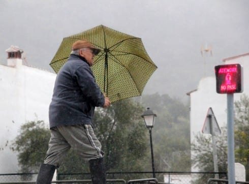
Next Week’s Outlook: Gradual Temperature Rise Amidst Uncertainty
Looking ahead to next week, AEMET notes ‘considerable uncertainty’ regarding the DANA’s trajectory from Monday onwards. Current models suggest that the probability of thunderstorms will ‘significantly’ decrease, leading to more stable weather conditions. Temperatures will begin to rise slowly but are not expected to reach the extreme peaks of the recent heatwave. The public is advised to stay updated with the latest weather forecasts and take necessary precautions against potential severe weather.
