Spain’s State Meteorological Agency Issues Multiple Weather Alerts
Spain’s State Meteorological Agency (AEMET) announced on Sunday the activation of multiple weather alerts for nine autonomous communities across the country. This warning highlights a complex weather situation where strong convective thunderstorms and a persistent heatwave will occur simultaneously in different regions, leading to highly unstable conditions with significant risks of torrential rain, hail, and strong winds in localized areas.
Thunderstorm Warnings: Orange Alert and Widespread Impact
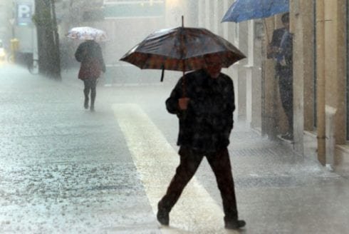
In this weather event, thunderstorm warnings are a key focus. The provinces of Teruel in Aragon and Castellón in the Valencian Community are at the highest risk, placed under an orange alert, with significant meteorological events such as heavy rainfall and severe thunderstorms expected.
Additionally, yellow thunderstorm warnings cover a broader area, including Granada and Jaén in Andalusia; Burgos, León, Palencia, and Soria in Castile and León; Barcelona, Girona, Lleida, and Tarragona in Catalonia; and the Iberian mountain range in La Rioja. These areas will experience successive unstable convective weather patterns.
Heatwave: North-South Divide and “Tropical Nights”
Concurrent with the thunderstorm warnings, large parts of Spain are also under a heat alert, complementing the storm-affected zones. The heatwave will primarily affect areas including Almería, Córdoba, Jaén, Seville, Mallorca, Salamanca, Badajoz, Cáceres, Ourense, and Pontevedra. The provinces of Lleida and Tarragona are under a dual alert for both high temperatures and thunderstorms.
Temperatures across the country show a clear divergence, with the Galicia region experiencing the most significant rise. Maximum temperatures are expected to exceed 35°C in the southwest, the Balearic Islands, the northeastern lowlands, and many parts of the Mediterranean coast. Nighttime temperatures are also a concern, with ‘tropical nights’ (noches tropicales), where minimum temperatures remain above 20°C, expected in the southwest, along the Mediterranean coast, and in the northeast.
Weather Details and Official Safety Advice
According to AEMET’s forecast, this round of thunderstorms is expected to be quite destructive, commonly accompanied by strong gusts of wind and hail. The intensity of wind and hail could be at its peak in the Pyrenees, the Baetic System, and the lower Ebro valley. The northern part of the peninsula will be mostly cloudy, with convective clouds likely to form over inland mountainous areas during the day, leading to frequent precipitation.
In response to the complex weather conditions, AEMET urges the public to remain vigilant and closely monitor the latest weather alerts. It is recommended to minimize outdoor activities during thunderstorm periods to avoid risks associated with severe storms, strong winds, hail, and flash floods. Additionally, preparations should be made for both heat protection and protection against wind and rain to mitigate potential personal injury and property damage from the extreme weather.
