Record-Breaking Fifth Red Alert
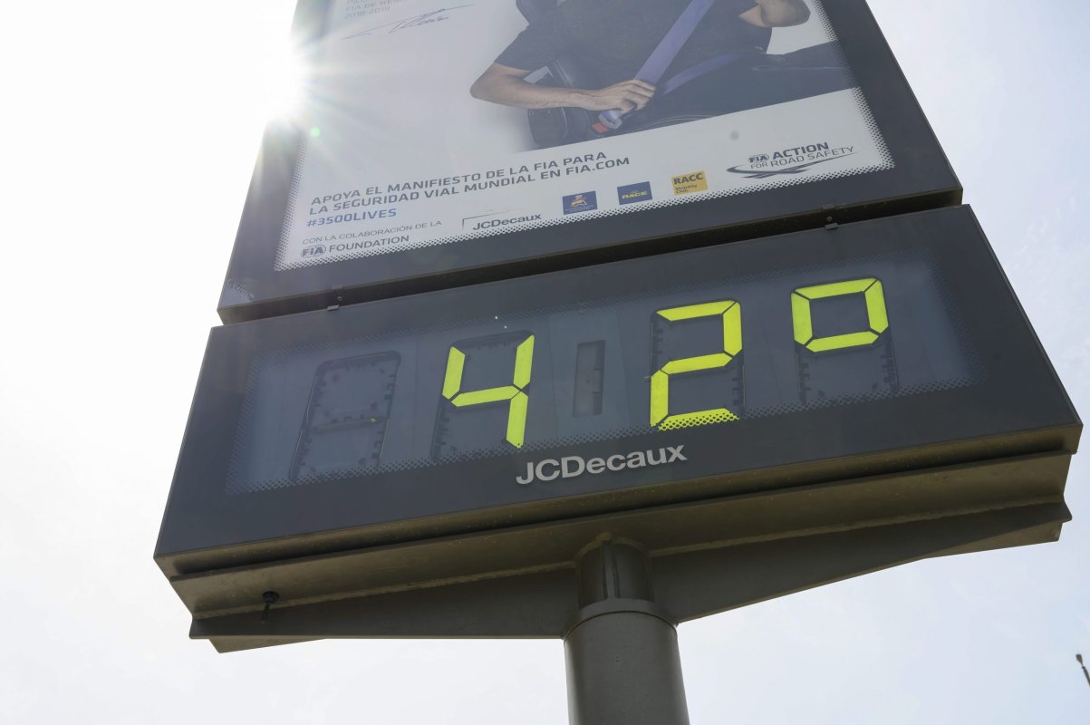
Spain’s State Meteorological Agency (AEMET) raised the risk level to the highest category—red—for parts of the Valencian Community on Wednesday, August 19, 2026. This marks the fifth red alert for high temperatures in the region this year, the first time such a high frequency of red alerts has been issued in a single year since the official METEOALERTA warning system was launched. In comparison, both 2025 and 2021 recorded only three red alert days throughout the entire year.
The most affected areas are the coastal regions of the province of Valencia and the northern coast of the province of Alicante, where maximum temperatures are forecast to be between 42°C and 44°C.
Dry Westerly Winds Exacerbate Extreme Fire Risk
The primary cause of this extreme heat is a persistent dry westerly wind. This airflow not only pushes temperatures higher but also causes a sharp drop in humidity, leaving vegetation extremely dry. Combining these factors, AEMET has classified the local forest fire risk level as ‘extreme’. The meteorological agency noted that the dry westerly winds are expected to persist throughout Wednesday and into the early hours of Thursday, creating highly unfavorable conditions for the outbreak and spread of fires.
August Average Temperature Hits 70-Year High
This heatwave is not an isolated event but is occurring against the backdrop of an exceptionally hot summer. According to statistics, the average temperature for the first half of August 2026 has already broken the record for the same period since reliable weather records began in 1950, being 2.8°C above the long-term average. Although the single-day peak temperatures in August may be slightly lower than those in July, the persistent high temperatures have caused significant cumulative heat stress on ecosystems and public health.
Weather Outlook: Cooling Trend Expected for the Weekend
According to AEMET’s forecast, this heatwave will peak on Wednesday, August 19. Starting Thursday, maximum temperatures will begin to drop, but with westerly winds continuing at night, the morning will still feel quite hot. The real turning point is expected over the weekend, when a cold front from the Atlantic will reach the eastern Iberian Peninsula, bringing a significant drop in temperatures. Cooler weather is expected to last into early next week.
