On August 20, the Valencian Community in Spain was struck by an extreme severe convective weather system. Torrential rain, hail, and hurricane-force gusts approaching 150 km/h caused widespread damage to public infrastructure, rail networks, and road traffic, triggering over 50 emergency responses in the affected areas.
Sudden Temperature Drop and ‘Wet Downburst’ Phenomenon
According to data from Spain’s State Meteorological Agency (AEMET), several powerful thunderstorm cells moved rapidly from inland areas toward the eastern coast that day. Notably, before the storm’s arrival, Valencia was experiencing extremely hot and humid conditions. However, as the convective cloud system approached, temperatures in some areas plummeted by nearly 20 degrees Celsius within minutes. Meteorological experts identified a ‘wet downburst’ as the primary cause of this weather event.
Historic Sites Damaged, Alzira Heavily Affected
In this extreme weather event, the city of Alzira was one of the hardest-hit areas. A combination of violent winds and heavy rainfall caused precipitation levels to surge to 42.2 liters per square meter at some observation points. More seriously, the historic Santa Catalina church suffered a partial roof collapse during the storm. Additionally, severe urban flooding forced local traffic authorities to close several major roads.
Urban Infrastructure Damaged and Traffic Disrupted
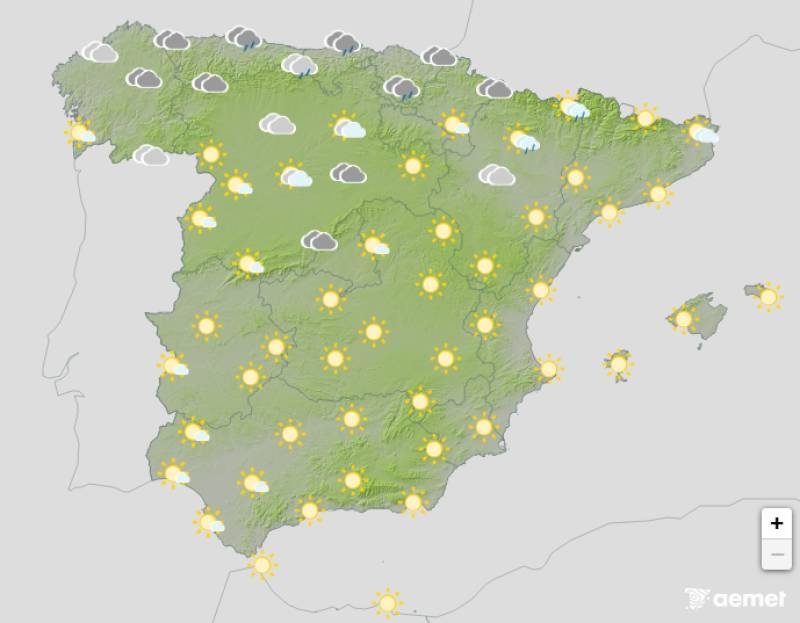
Meanwhile, several municipalities around La Ribera also reported varying degrees of property damage. The fierce winds uprooted numerous street trees and tore loose components from building facades, scattering debris and causing significant traffic disruptions. Municipal emergency crews were deployed quickly after the disaster, focusing on clearing fallen trees and debris from public facilities to restore the damaged urban transport network as soon as possible.
Meteorological Agency Maintains Orange Alert
Given the complex and extreme atmospheric conditions, Spain’s State Meteorological Agency has maintained the orange weather alert for the region. Experts explain that a ‘wet downburst’ is a phenomenon where cold air within a thundercloud violently descends, hits the ground, and spreads out rapidly in all directions, with instantaneous wind speeds that can easily exceed 100 km/h. Although such high-impact weather events are short-lived, their destructive power is immense. The resulting widespread uprooting of trees and damage to buildings often leads the public to mistake the aftermath for that of a tornado.
