Sweltering Heat Returns, Many Regions Back in Summer Mode
According to the latest weather report from Spain’s State Meteorological Agency (AEMET), Wednesday, September 2nd, will see significant weather changes across Spain as a powerful wave of rising temperatures sweeps the nation. The temperature increase will be particularly intense in the central and southern regions. In Andalusia, high temperatures in Córdoba and Seville are expected to reach 40°C, marking a return to extreme heat for the area.
This heatwave will be widespread, affecting areas including southwestern Spain, the southern plateau, the Ebro Valley, the northeastern lowlands, and the island of Mallorca, with daytime temperatures widely exceeding 35°C. The capital, Madrid, is also expected to see a high of 36°C. In contrast, coastal areas will experience a more moderate temperature rise due to the regulating effect of the sea.
Afternoon Severe Convective Weather Warning for Eastern Mountains
While inland areas are blanketed by high heat, the eastern interior of Spain has become a key area of meteorological concern. Forecasts indicate that on Wednesday afternoon, cloud cover will rapidly develop over the Iberian System and southeastern mountain ranges, creating a high probability of localized, intense thunderstorms. This severe convective weather may be accompanied by short bursts of heavy rain, damaging winds, and even hail, posing a significant meteorological risk. Most other parts of Spain are expected to have relatively stable weather with no reports of extreme conditions.
“Tropical Nights” to Intensify Overnight Sultriness
High nighttime temperatures are another significant concern during this weather event. Along the Mediterranean coast, in the northeastern lowlands, and in parts of Andalusia, minimum overnight temperatures will remain above 20°C, a phenomenon known as ‘tropical nights.’ This means a minimal diurnal temperature range and little cooling after dark, with the persistent stuffiness likely to severely affect residents’ sleep quality.
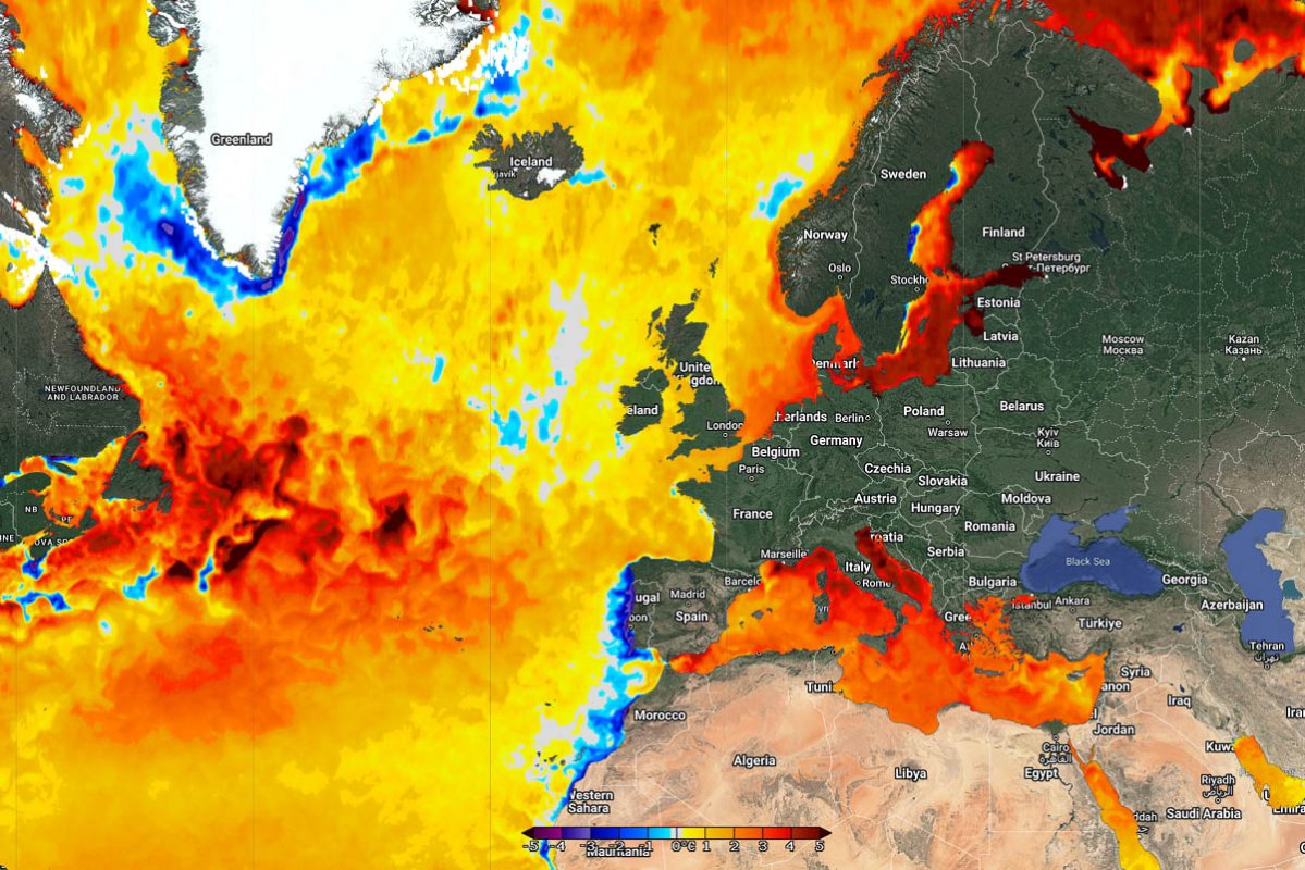
Multiple Weather Phenomena: Dust, Fog, and Strong Winds
In addition to high temperatures and thunderstorms, other complex weather phenomena are occurring in various parts of Spain. A plume of dust is currently affecting the southeast, the Alboran Sea, the Balearic Islands, and the eastern Canary Islands, leading to reduced air quality.
Regarding wind, the southeastern coast and the Strait of Gibraltar will experience moderate easterly winds with strong local gusts. As for fog, it is likely to form in the northern regions, the southeastern interior, and the Balearic Islands during the early morning hours, with sea fog also possible along the coast. Meanwhile, the Strait of Gibraltar, Ceuta, and Melilla will see mostly low clouds, with a chance of isolated light rain.
Meteorological authorities issue a general reminder for the public to take active measures to prevent heatstroke, especially residents in the southern regions. Residents and tourists in the eastern mountainous areas should pay close attention to weather warnings, guard against the safety risks posed by afternoon thunderstorms, and plan their activities accordingly.
